Wastewater catchment areas in Great Britain
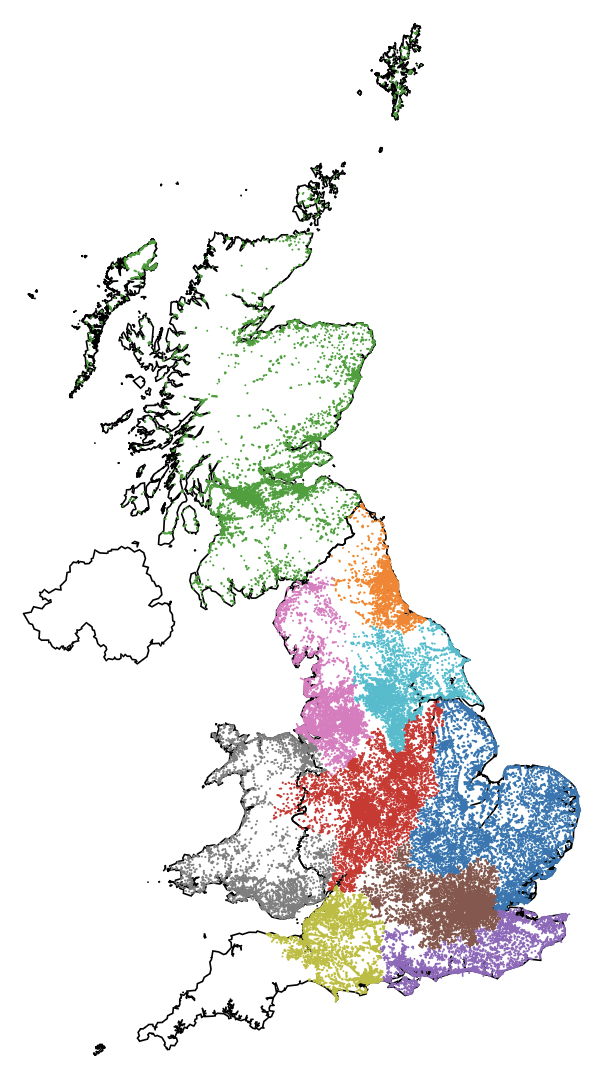 Wastewater catchment area data are essential for wastewater treatment capacity planning and have recently become critical for operationalising wastewater-based epidemiology (WBE) for COVID-19. Owing to the privatised nature of the water industry in the United Kingdom, the required catchment area datasets are not readily available to researchers. Here, we present a consolidated dataset of 7,537 catchment areas from ten sewerage service providers in the Great Britain, covering more than 96% of the population of England and Wales. We develop a geospatial method for estimating the population resident within each catchment from small area population estimates generated by the Office for National Statistics. The method is more widely applicable to matching electronic health records to wastewater infrastructure. Population estimates are highly predictive of population equivalent treatment loads reported under the European Urban Wastewater Treatment Directive. We highlight challenges associated with using geospatial data for wastewater-based epidemiology.
All code to reproduce the results is available on GitHub, and underlying data can be obtained from WhatDoTheyKnow.
@article{Hoffmann2022,
    title = "Wastewater catchment areas in Great Britain",
    author = "Hoffmann, Till and Bunney, Sarah and Kasprzyk-Hordern, Barbara and Singer, Andrew",
    journal = "ESSOAr",
    year = "2022",
    doi = "10.1002/essoar.10510612.2",
}